


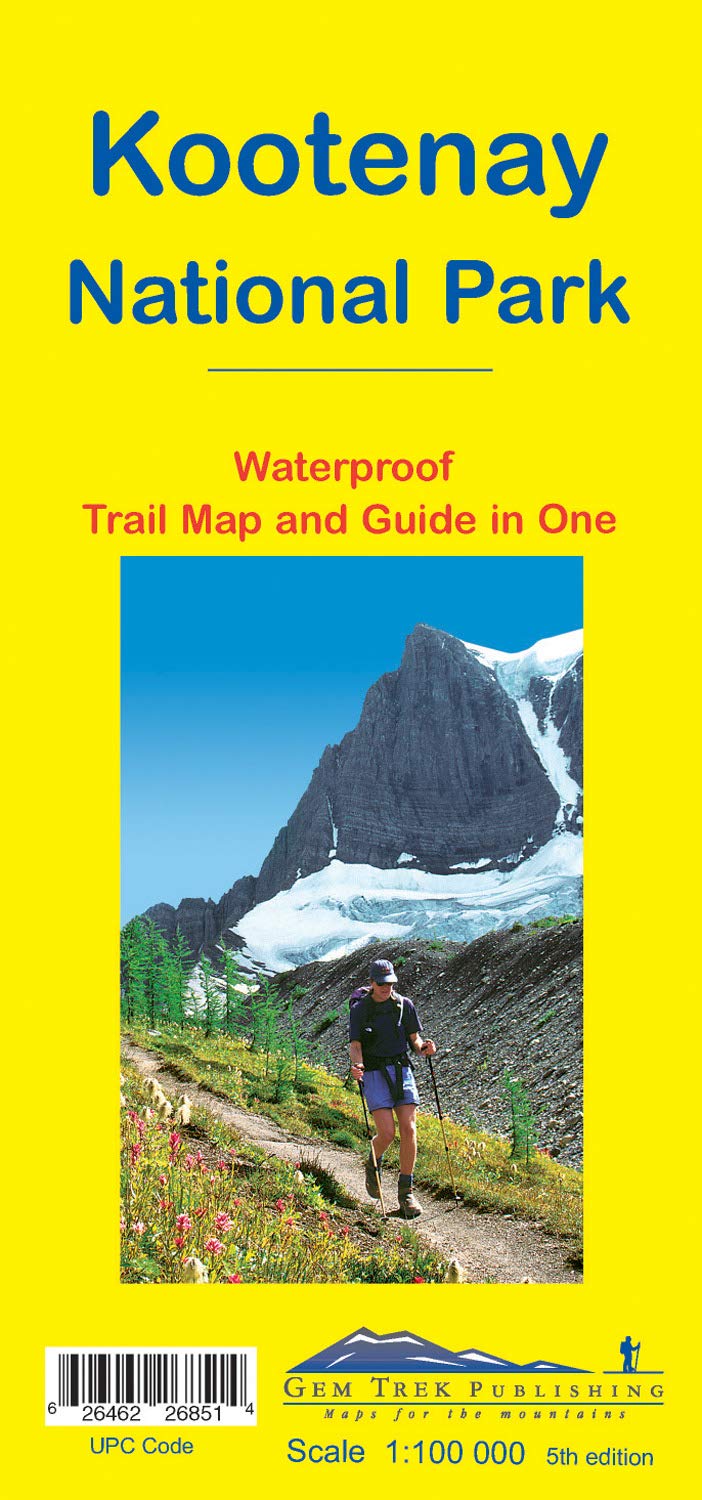
Gem Trek Maps
Kootenay National Park Map
Gem Trek’s KOOTENAY NATIONAL PARK MAP is perfect for hikers and outdoor enthusiasts looking to explore the least visited of the four contiguous national parks in the Canadian Rockies.
ISBN: 978-1-990161-02-5
Scale: 1:100,000
Edition: 6th, 2022
Folded size: 4.5 x 9.5 inches
Flat size: 23 x 39 inches
The Kootenay National Park Map includes:
waterproof and tear-resistant paper
contour lines at 100-metre (330-foot) intervals
relief shading to better show the topography
full colour on both sides
hiking trails - with trail names and trail distances marked
hydrology – rivers, rapids, glaciers, wetlands, and waterfalls
mountain names and all available mountain elevations
all campgrounds
points of interest and attractions
picnic areas
highway viewpoints
Best Price Guarantee
Found a better price elsewhere? We guarantee you the best price on this item - Learn more
Frequently Asked Questions
For more information view our FAQ page
-
Free shipping on orders over $99 (oversize charges may apply) - Read our shipping policy for more information.
-
Standard shipping estimates are as follows:
Alberta and British Columbia: 2-4 business days
Saskatchewan and Manitoba: 3 - 4 business days
All other provinces and territories: 5 - 9 business days
-
We offer fast & easy returns on most products. Exceptions include products 30% off or more, climbing gear, underwear & more.
Read our return policy here.
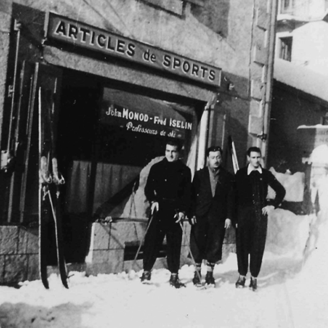

Premium gear is our promise
We were established almost 75 years ago by John Monod, a Swiss mountain guide and ski instructor. Quality outdoor gear is what our brand was built upon since 1949.