


TOBC51 Topo Map | Mount Robson
This recreation topographic map for the Mount Robson area highlights all the logging roads, trails and recreational Points of Interest including hunting, camping, hiking, mountain biking, canoeing, kayaking, backcountry skiing, snowshoeing, cross-country skiing, wildlife viewing, ATVing, snowmobiling and more.
Map Scale: 1:65,000
Release: 2022
Dimensions: 61 x 94 cm/24 x 37 inches
Area Covered
Mount Robson,Fraser River,Moose Lake,Moose River,Robson River,Berg Lake,Jasper National Park,Mount Robson Corridor Protected Area
Map Features
Highways, Logging Roads, Land & Water Features, Parks, Adventure Points of Interest, Campgrounds, Hiking Trails, Motorized Trails, Paddling Routes, Hunting & Fishing Areas, Winter Recreation and More.
Best Price Guarantee
Found a better price elsewhere? We guarantee you the best price on this item - Learn more
Frequently Asked Questions
For more information view our FAQ page
-
Free shipping on orders over $99 (oversize charges may apply) - Read our shipping policy for more information.
-
Standard shipping estimates are as follows:
Alberta and British Columbia: 2-4 business days
Saskatchewan and Manitoba: 3 - 4 business days
All other provinces and territories: 5 - 9 business days
-
We offer fast & easy returns on most products. Exceptions include products 30% off or more, climbing gear, underwear & more.
Read our return policy here.
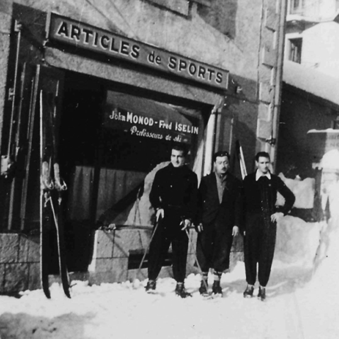
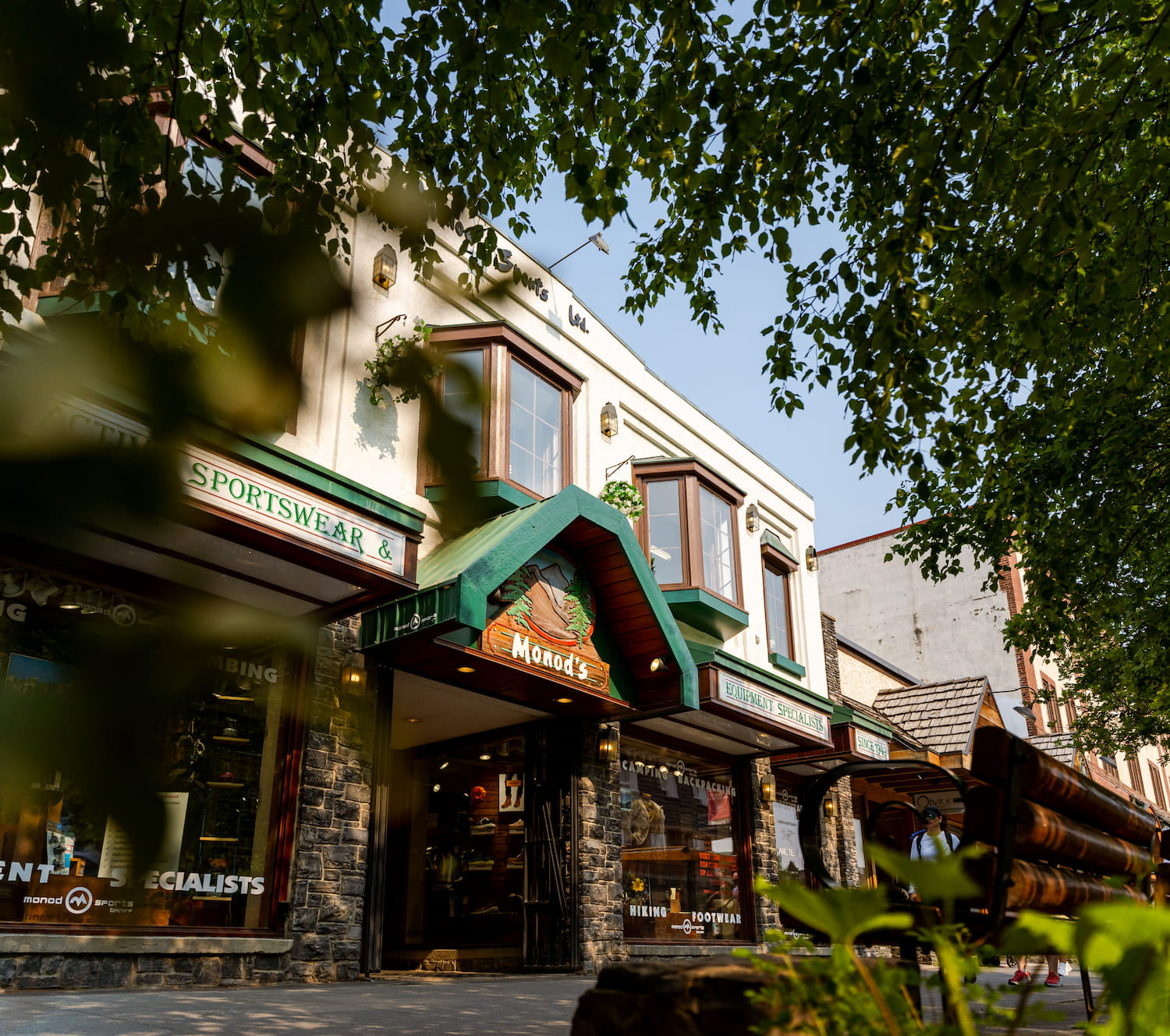
We were established almost 75 years ago by John Monod, a Swiss mountain guide and ski instructor. Quality outdoor gear is what our brand was built upon since 1949.