Bow Lake & Saskatchewan Crossing Map

$14.95

Waterproof, tear-resistant map for hiking and recreation across the Bow Lake and Saskatchewan Crossing region of Banff National Park.

Item is in stockHurry! Low inventoryItem is out of stock Item is unavailable

Gem Trek Maps Bow Lake & Saskatchewan Crossing Map is built for getting around the north end of Banff National Park, from road touring along the Icefields Parkway to time in the backcountry. It pairs detailed cartography with accurate hiking trails, including distances, so you can plan routes with confidence in the field.

This 1:70,000 map covers the Icefields Parkway between Bow Lake (south) and Graveyard Flats (north), plus the Kootenay Plains east of Saskatchewan Crossing via Highway 11. You’ll also get coverage for the Blaeberry Valley in British Columbia and the historic trading route linking the Blaeberry to the Kootenay Plains via Howse Pass. On the back, 24 recommended hikes range from short walks to overnight treks, supported by service information like campgrounds and visitor centres.

GENERAL

  • ISBN: 978-1-990161-08-7
  • Scale: 1:70,000
  • Edition: 6th, 2024
  • Folded size: 4.5 x 9.5 inches
  • Flat size: 27 x 39 inches

MAP FEATURES

  • waterproof and tear-resistant paper
  • contour lines at 25-metre (80-foot) intervals
  • relief shading to better show the topography
  • full colour on both sides
  • hiking trails with trail names and trail distances marked
  • mountain biking and equestrian trails with trail names and distances marked
  • hydrology rivers, rapids and waterfalls
  • mountain names and all available mountain elevations
  • all campgrounds with a handy chart showing campground details
  • points of interest and attractions as well as picnic areas and highway viewpoints
  • recommended hikes: 24 recommended hikes (short walks to overnight treks)
  • back includes details of services such as campgrounds and visitor centres

TRAIL ENHANCEMENTS

  • detailed cartography with accurate hiking trails with distances
  • logging roads on the British Columbia side of the Continental Divide
  • abandoned fire lookouts

COVERAGE

  • portion of Banff National Park along the Icefields Parkway between Bow Lake (south) and Graveyard Flats (north)
  • also includes: Kootenay Plains (accessed east of Saskatchewan Crossing along Highway 11)
  • also includes: Blaeberry Valley in British Columbia
  • also includes: historic trading route linking the Blaeberry to the Kootenay Plains via Howse Pass
  • inset: 1:100,000-scale inset map on the back covering the east side of the Icefields Parkway in the Mosquito Creek drainage, providing detail for hikers heading to Fish Lakes and Molar Pass
Best Price Guarantee

Found a better price elsewhere? We guarantee you the best price on this item - Learn more

[{"variant_id":"49675593384179" , "metafield_value":""}]
Bow Lake & Saskatchewan Crossing Map

Frequently Asked Questions

For more information view our FAQ page

  • Free shipping on orders over $99 (oversize charges may apply) - Read our shipping policy for more information.

  • Standard shipping estimates are as follows:

    Alberta and British Columbia: 2-4 business days

    Saskatchewan and Manitoba: 3 - 4 business days

    All other provinces and territories: 5 - 9 business days

  • We offer fast & easy returns on most products. Exceptions include products 30% off or more, climbing gear, underwear & more.

    Read our return policy here.

1930_s_Articles_de_Sports.jpg
July_2021_1_of_1.jpg
Premium gear is our promise

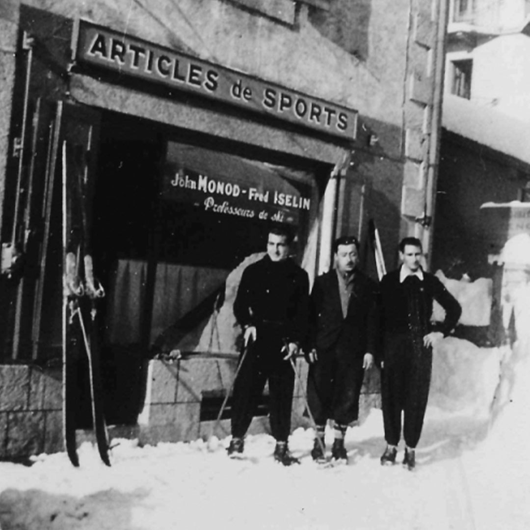
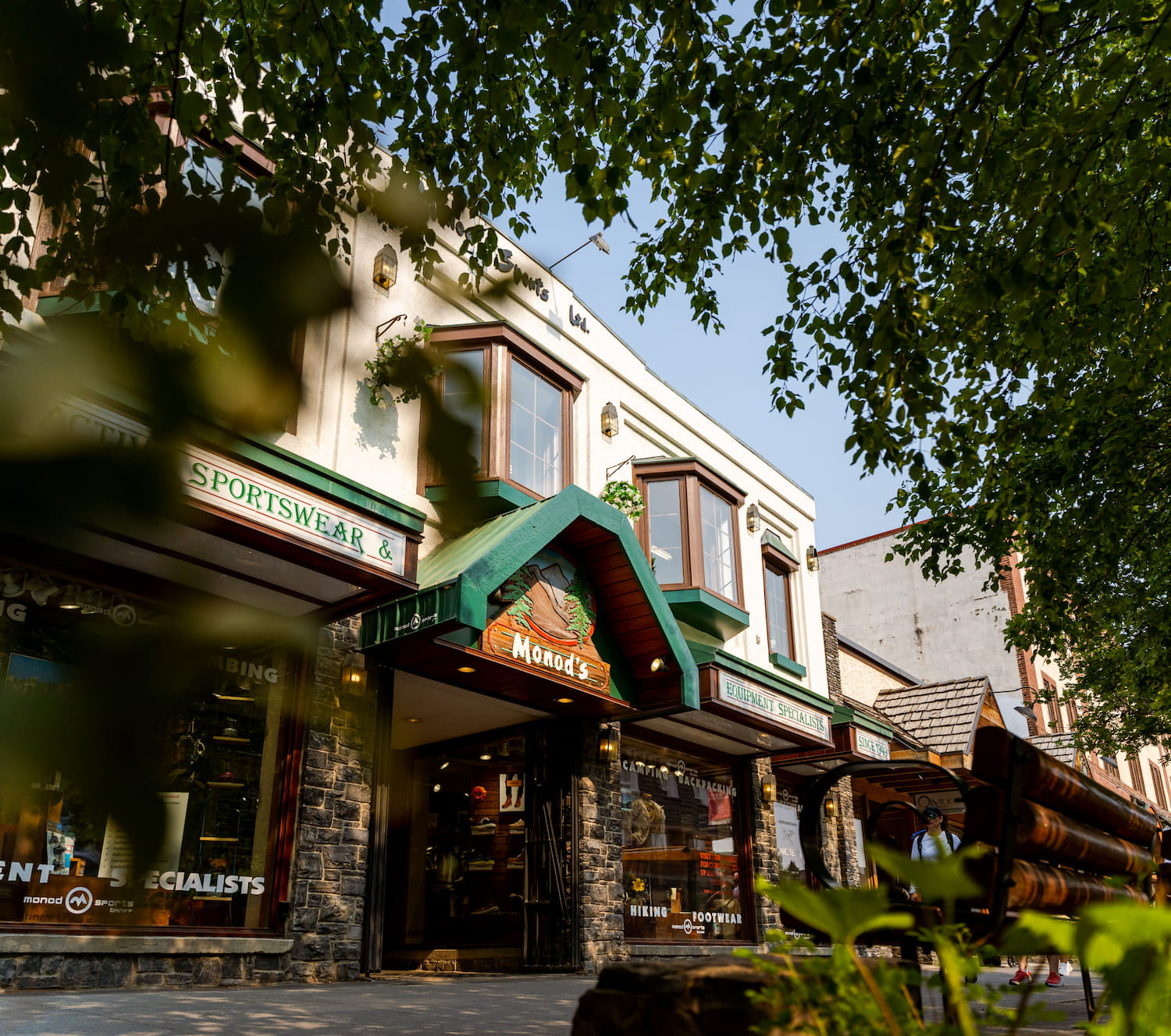
We were established almost 75 years ago by John Monod, a Swiss mountain guide and ski instructor. Quality outdoor gear is what our brand was built upon since 1949.

Price Matching

Free Shipping

Fast & Simple Returns